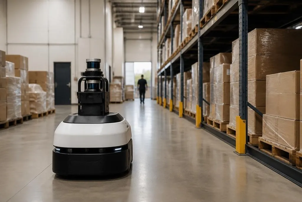
A robot cannot plan a route until it knows where walls, doors, shelves, and people are. It builds that picture by joining sensor readings with records of its own movement, then checking whether the pieces fit.
Quick read
- LiDAR measures distance with laser pulses; cameras record visual detail.
- SLAM lets a robot build a map while estimating its position inside it.
- Maps can fail when lighting, surfaces, moving objects, or sensor errors confuse the robot.
What a robot senses
Mapping starts with measurements, not a ready-made map.
LiDAR sends out laser pulses and measures how long they take to return, creating distance points around the robot. A 2D LiDAR sees a flat slice, while a 3D LiDAR records points above and below that plane.
Cameras add information that distance alone cannot show. They can help the robot recognize signs, floor edges, colors, and objects. Stereo cameras use two views to estimate depth, while a depth camera measures distance for each part of the image.
The robot also tracks its own motion. Wheel encoders count wheel rotation, and an inertial measurement unit records changes in speed and direction. These readings are called odometry. Odometry tells the robot how far it thinks it has moved, but small errors grow with every turn.
How SLAM joins the readings
Simultaneous localization and mapping, or SLAM, handles the two jobs together. The robot builds a map while estimating its position inside that map, because each task helps check the other.
Suppose a robot moves past a wall corner. Its sensors record the corner from one position, then record it again after the robot moves. Software compares the two readings to estimate the robot’s movement. If the readings fit, the map gains a more stable shape.
The robot repeats this process as it travels. A map may store free space, blocked space, and areas the sensors have not seen yet. An occupancy grid does this with small cells, marking each cell as likely open, blocked, or unknown.
When the robot returns to a place it has seen before, the system can match the new reading with the old one. This is called loop closure. It helps correct the drift that builds up from wheel slip, bumps, and imperfect sensor readings.
A corrected map can keep a robot on its route when walls, shelves, and people shift around it. Reports from Robot24.com can connect that map data to named machines and real work sites before we look at why the map matters.
Why the map matters
A map gives the robot a working layout for route planning. The navigation system can choose a path around blocked cells, slow down near obstacles, and send the robot back to a charging point or work area.
The map also supports localization. The robot compares what its sensors see now with the stored map, then estimates where it is. If a delivery robot sees a wall, doorway, and corner in the expected order, those features help fix its position.
Maps can be made before a robot starts work, or while it operates. A warehouse may use a prepared map with shelves and safety zones. A search robot may need to build a new map because the area is unknown.
Where mapping fails
A map is only as good as the readings behind it. Wheel slip can make odometry report the wrong distance. Glass may reflect or scatter sensor signals, and a camera may lose useful detail in darkness or direct sunlight.
People, vehicles, boxes, and furniture also change the scene. A robot may mark a moving pallet as a wall, then plan around an obstacle that has already gone. Good systems separate fixed structure from temporary objects, but that separation can fail when the scene changes quickly.
Large open areas create another problem. A blank wall or empty floor gives the software few distinct points to match. The robot may need extra sensors, known markers, or a fresh position check before it can move safely.
A practical map check
Before you trust a robot’s map, check these points:
- Inspect the sensor view for glass, glare, dust, and dark corners.
- Compare the saved map with the current floor layout.
- Mark areas where people or vehicles change the route.
- Test recovery after wheel slip or a forced stop.
- Set a safe action for unknown map cells.
I'd trust the map only after the robot can recover from a changed scene, not after one clean run through an empty room. The next useful test is a route with moved objects, poor light, and a blocked doorway.